Geography Teaching Resources
- Free Plan
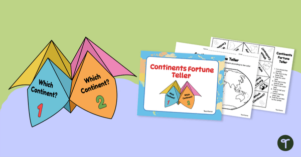
7 Continents Fortune Teller
Use this Continents of the World fortune teller and summary sheet as a fun geography review activity.
- Free Plan
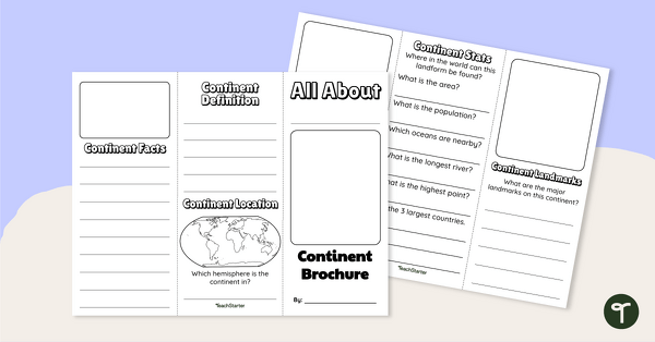
World Continents Brochure Template
Replace your continents worksheets with a printable continents brochure project.
- Free Plan

Labeling the Continents and Oceans Worksheets
Turn geography into a fun and educational learning experience by using our free Continents and Oceans worksheets!
- Free Plan
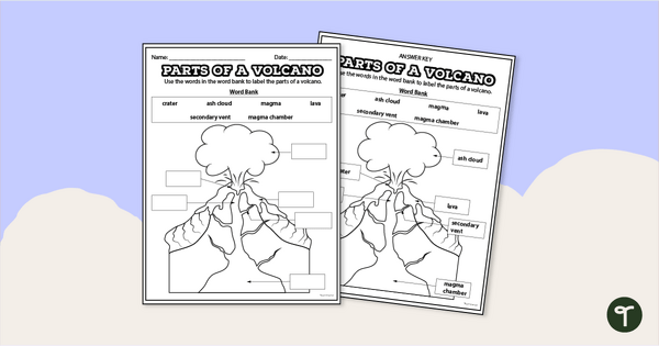
Diagram of a Volcano - Labeling Worksheet
Label the diagram of a volcano with a printable volcano worksheet.
- Free Plan
Cardinal Directions Worksheet for First Grade
Use cardinal directions to create a simple town map with this 2-page cut-and-paste activity sheet.
- Plus Plan

13 Colonies Map — Labeled
Build understanding of Colonial America with a labeled 13 colonies map for the classroom.
- Free Plan
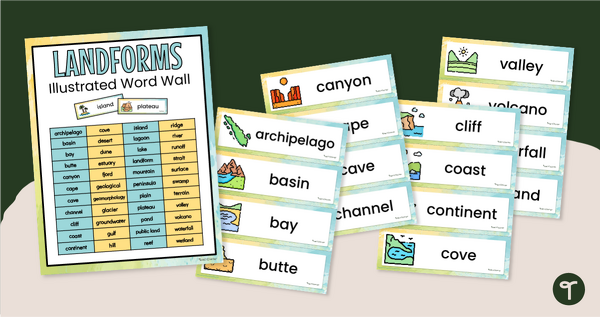
Illustrated Landform Vocabulary Word Wall
Show your students examples of different landforms with a set of printable Landform word and picture cards.
- Plus Plan
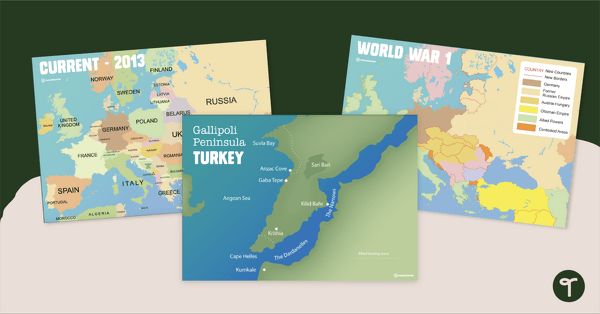
Printable World War 1 Map of Europe
Printable map of Europe and World War 1 to use in the classroom when learning about WW1.
- Free Plan
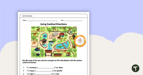
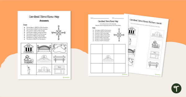
Free Map Skills Worksheet- Using Cardinal Directions
A worksheet to practice using cardinal directions.
- Free Plan
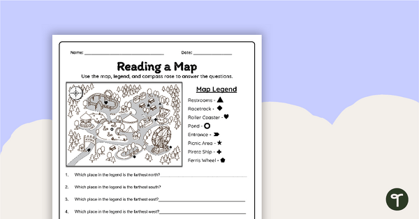
Reading a Map Worksheet
Develop elementary grade map skills with a map-reading worksheet.
- Plus Plan
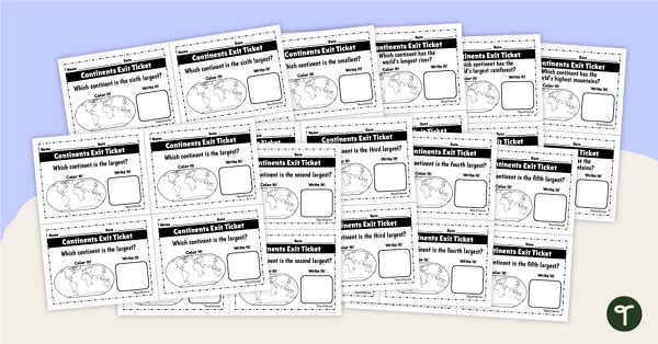
World Continents and Oceans Exit Tickets
Determine your students' mastery of Geography concepts with a set of twenty continents and oceans exit tickets.
- Plus Plan
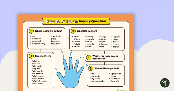
How to Write an Inquiry Question Poster
A poster demonstrating the steps involved in formulating a question for inquiry-based learning.
- Plus Plan
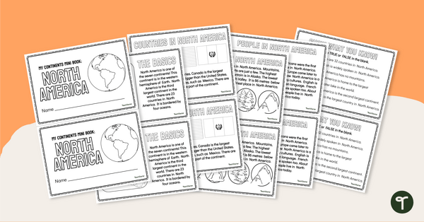
The Continent of North America - Mini-Book
Explore the wonders and delights of the continent of North America with this informative printable mini-book.
- Plus Plan

Using Coordinate Grids-Map Skills Worksheets
A set of 13 worksheets to help teach map skills to students.
- Free Plan

Landforms of the World - Brochure Template
Add to your bank of landform project ideas with a free Landform Research Brochure.
- Free Plan

Free U.S. Mountains, Rivers, and Land Features Worksheet
Apply knowledge of the major U.S. land features, mountains, and rivers with a map labeling worksheet.
- Free Plan
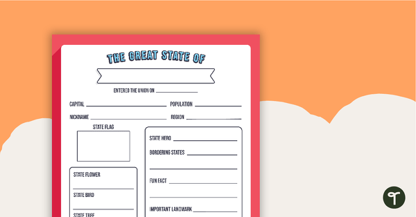
The Great State Of... State Research Template
A free template for students to identify important aspects of their state.
- Plus Plan
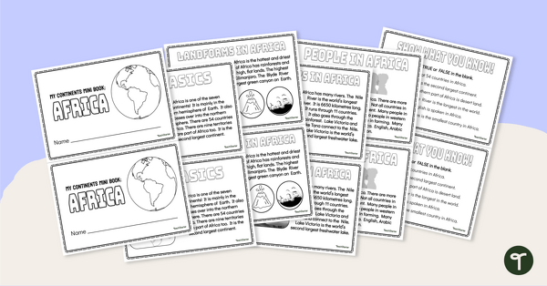
The Continent of Africa - Mini-Book
Explore the wonders and delights of the continent of Africa with this informative printable mini-book.
- Plus Plan
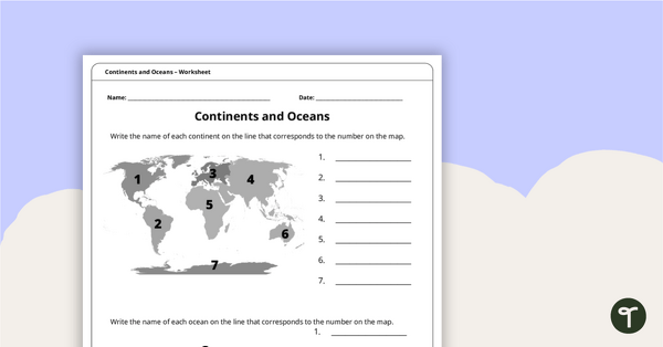
Continents and Oceans Worksheet
A worksheet to practice identifying the 7 continents and 5 oceans.
- Plus Plan
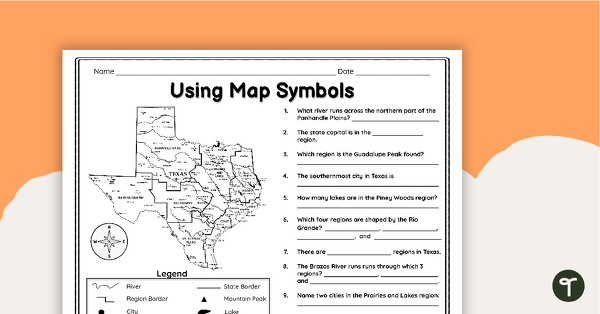
Texas Map Symbols Worksheet
Use a map key and symbols to identify and name land features, cities, and regions of Texas with a worksheet.
- Plus Plan
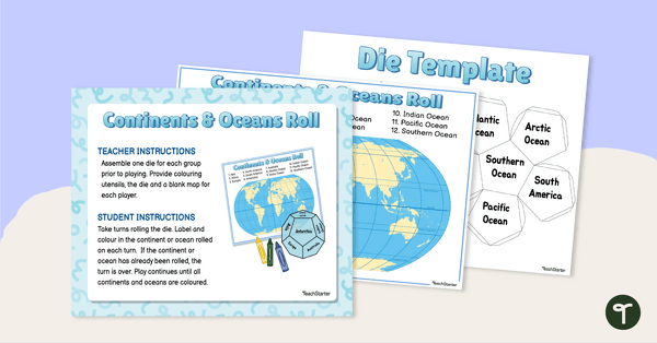
Continents and Oceans Roll and Color Game
Learn to identify the continents and oceans of the world with a Continents and Oceans Roll and Color Game.
- Plus Plan

Google Interactive - Regions of the United States
Practice identifying states in the five regions of the United States with a Google Interactive activity.
- Plus Plan
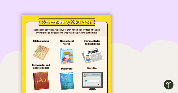
Secondary Sources Poster (Alternate Version)
A poster providing the definition and some examples of secondary sources.
- Plus Plan
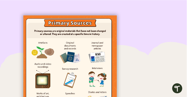
Primary Sources - Firsthand Account Anchor Chart
Teach your students about primary sources and firsthand accounts with a printable primary source document anchor chart.
- Free Plan
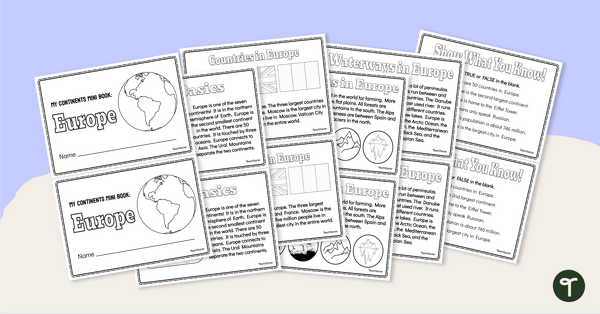
The Continent of Europe - Mini-Book
Explore the wonders and delights of the continent of Europe with this informative printable mini-book.
- Plus Plan

Printable Map of Native American Tribes of North America
Print and use a detailed map showing the regions of native American tribes.
- Plus Plan

Looking at Landforms Worksheet
Identify the major landforms of the world with a labeling worksheet.
- Plus Plan
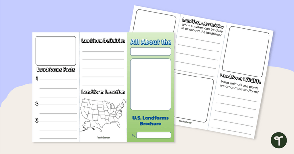
U.S. Landforms Brochure
Research and present knowledge of famous landforms in the United States with a brochure project.
- Plus Plan
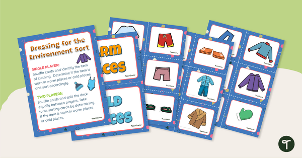
Dressing for the Physical Environment Sorting Activity
Help children learn about dressing for the environment by sorting clothing items into categories for warm climate and cold climate.
- Plus Plan
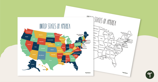
Labeled Map of the United States
Teach your students about the geography of the United States of America with this detailed map.
- Plus Plan
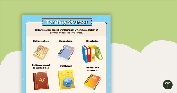
Tertiary Sources Poster (Alternate Version)
A poster providing the definition and some examples of tertiary sources.
- Plus Plan
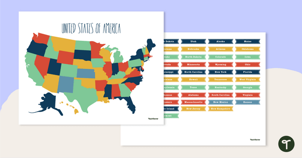
Map of The United States - Labeling Activity
Discover the location and position of America's states with this labeling activity.